

Gunung Berembun + WWII Crashed Site
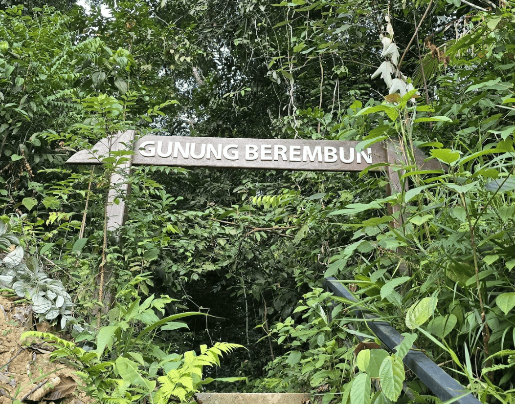
Gunung Berembun is located in the Pantai sub-district, Seremban district, within the Berembun Permanent Forest Reserve area.
Background:
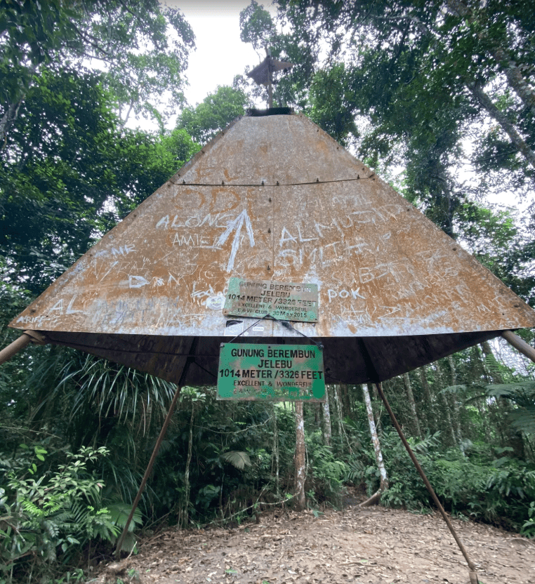
Gunung Berembun, located in Jelebu, Negeri Sembilan, is a well-loved hiking destination known for its dense rainforest, refreshing mountain air, and rich natural surroundings. Part of the Titiwangsa Range, the mountain offers scenic jungle trails and diverse flora and fauna, making it a popular choice among hikers seeking both nature and adventure.
Beyond its natural appeal, Gunung Berembun holds significant historical importance. Hidden deep within its forest is the crash site of a Royal Air Force (RAF) B-24 Liberator bomber from World War II. The aircraft went down during the war, and remnants of the wreckage remain at the site today. This location serves as a quiet memorial to the crew who lost their lives and adds a powerful historical dimension to the hike.
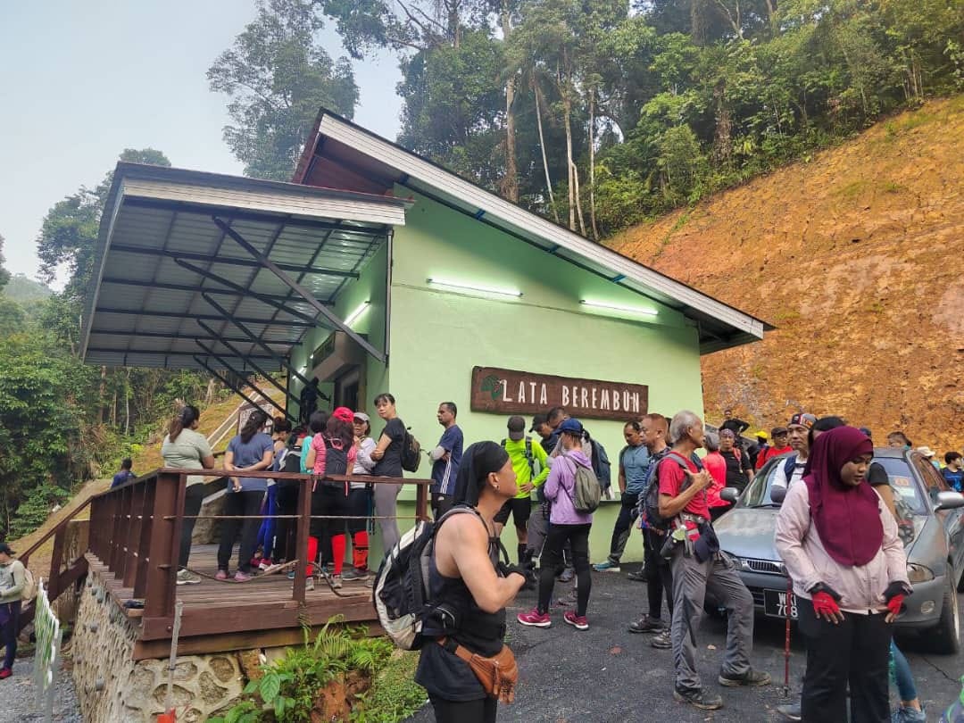
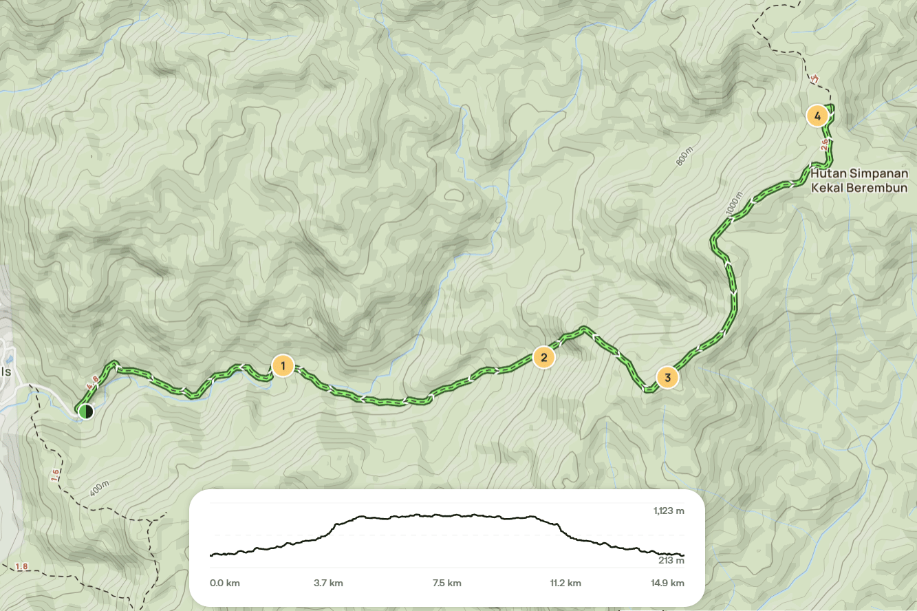
Reaching the crash site requires experience and careful navigation, as the terrain becomes more challenging. Hikers typically continue beyond the summit of Gunung Berembun toward Gunung Telapak Buruk to access the wreckage. Along the way, visitors may also stop at Lata Berembun, a scenic spot along the trail that’s ideal for a short rest or picnic. The journey to Gunung Berembun offers a unique blend of natural beauty, physical challenge, and meaningful history making it one of Negeri Sembilan’s most memorable hiking experiences.
Hike Information
📍 Location: Pantai, Negeri Sembilan
📜 Permit: Mandatory
🧑✈️ Licensed MGP Guide: Optional for Malaysian Citizen / Mandatory for Non-Malaysian Citizen
📏 Distance: ~ 16 km (Return)
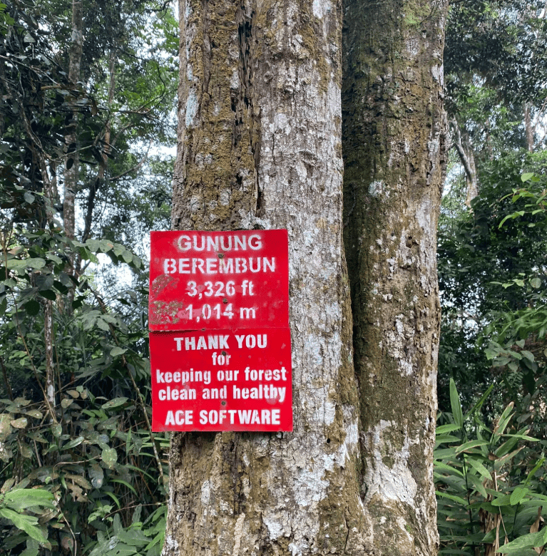
⛰ Peak Height: 1,014 m / 3,326 ft
📈 Elevation Gain: ~ 1,200 m / 3,937 ft
⚠️ Difficulty Rating: 6/10 (Challenging)
📍 Peak Coordinates:
- Berembun Peak: 2°48'16.5"N 102°03'21.8"E 👉 [View on Google Maps]
- WWII Plane Crash Site: 2°49'13.3"N 102°04'00.2"E 👉 [View on Google Maps]
👥 MGP Guide to Hiker Ratio:
- The standard MGP guide-to-hiker ratio is 1:7, but where guides are optional, the recommended ratio is 1:10.
- If your group has more than 7 or 10 participants, additional guides will be required to maintain the mandated safety ratio.
- This requirement ensures safety, compliance with forestry regulations, and a better hiking experience for all participants.
🔢 Ratio Examples (1:7):
- 1–7 hikers → 1 guide
- 8–14 hikers → 2 guides
- 15–21 hikers → 3 guides
- 22–28 hikers → 4 guides
🔢 Ratio Examples (1:10):
- 1–10 hikers → 1 guide
- 11–20 hikers → 2 guides
- 21–30 hikers → 3 guides
💬 Next Steps After Payment:
- 📧 Confirmation: You’ll receive a booking confirmation within 10 minutes. If you don’t receive a confirmation email, please contact our customer support team.
- 📱 WhatsApp Group: All registered participants will be added to a dedicated WhatsApp group for final updates, reminders, and important hike information.
- 🎫 Voucher Type: Please present your mobile voucher along with your identification or passport on the day of the hike.

