

Gunung Nuang via Pangsun
A true test of endurance, offering a relentless hike. Conquer the toughest trail in Selangor and earn your status as a serious hiker.
Background:
Gunung Nuang is a rite of passage for Malaysian hikers, and the Pangsun route in Hulu Langat is widely regarded as the toughest approach. It’s a popular training ground for those preparing for bigger mountains.
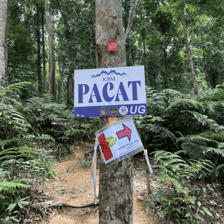
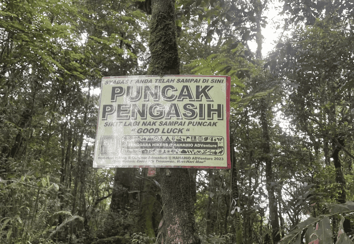
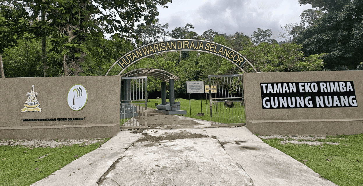
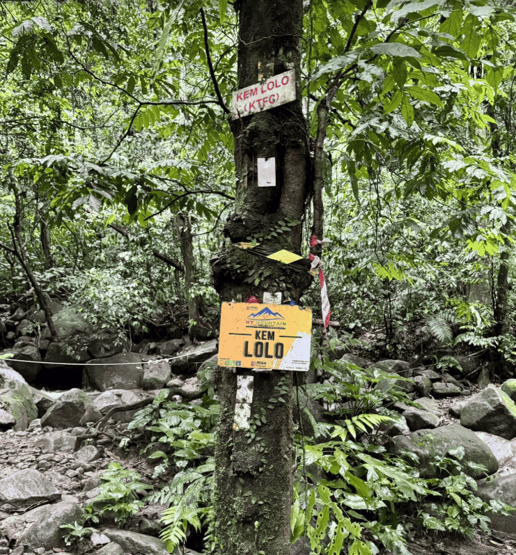
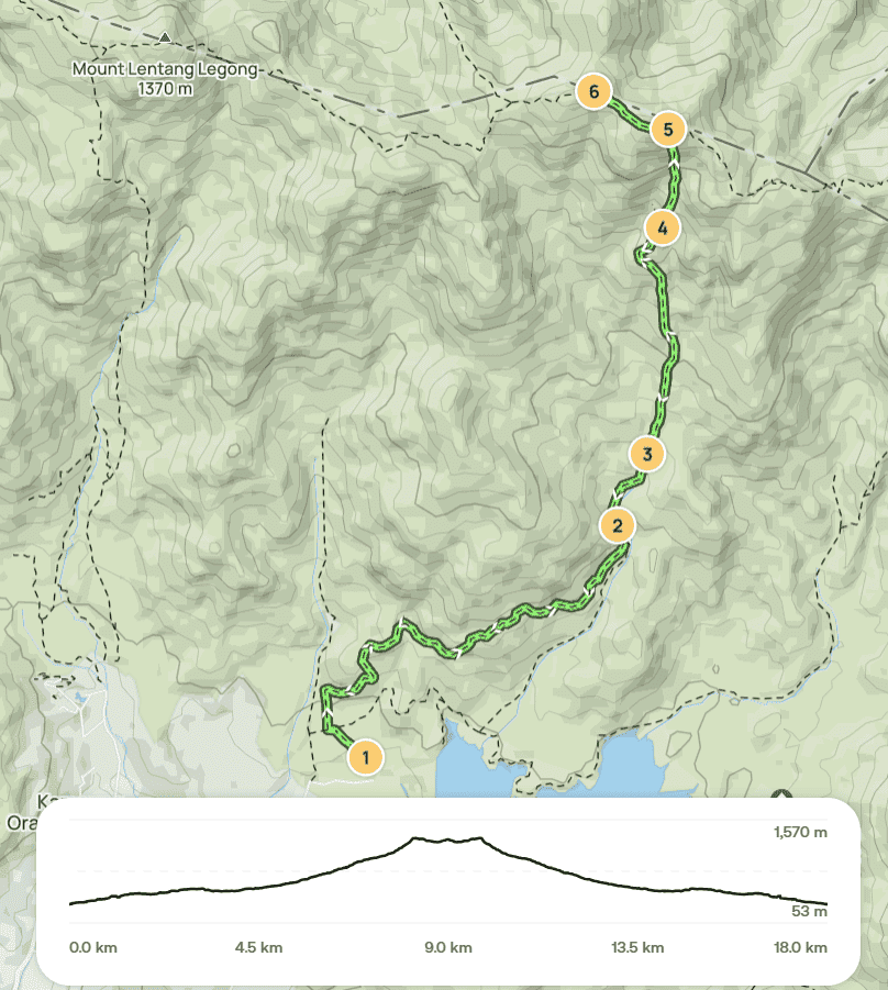
This 19 km round trip tests your endurance from the very beginning, starting with the infamous “never-ending road” before entering dense forest. Key checkpoints include Taman Eko Rimba, Kem Lolo, Kem Pacat, Puncak Pengasih, and finally the summit of Nuang. The terrain becomes progressively steeper, with multiple river crossings that can turn challenging—especially after rain. The final ascent is notoriously demanding, solidifying Nuang’s reputation as one of Malaysia’s toughest hikes. Some even claim it’s harder than Mount Kinabalu.
While the summit view is modest, the sense of accomplishment is tremendous. Conquering Nuang via Pangsun is a strong indicator that you’re ready for more challenging mountains.
This trail is definitely NOT for beginners. Expect an intense but rewarding trek. Some say even special forces train here so although the route may look straightforward, it is anything but easy. We highly recommend training for at least a few months beforehand.
Hike Information:
📍 Location: Hulu Langat, Selangor
📜 Permit: Mandatory
🧑✈️ Licensed MGP Guide: Mandatory
📏 Distance: ~ 20 km (Return)
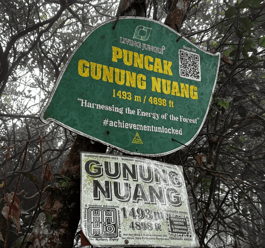
⛰ Peak Height: 1,493 m / 4,898 ft
📈 Elevation Gain: ~ 1,600 m / ~ 5,249 ft
⚠️ Difficulty Rating: 7.5/10 (Challenging)
📍 Peak Coordinates: 3°16'02.9"N 101°54'00.0"E 👉 [View on Google Maps]
👥 MGP Guide to Hiker Ratio:
- The standard MGP guide-to-hiker ratio is 1:7.
- If your group has more than 7 participants, additional guides will be required to maintain the mandated safety ratio.
- This requirement ensures safety, compliance with forestry regulations, and a better hiking experience for all participants.
🔢 Ratio Examples:
- 1–7 hikers → 1 guide
- 8–14 hikers → 2 guides
- 15–21 hikers → 3 guides
- 22–28 hikers → 4 guides
💬 Next Steps After Payment:
- 📧 Confirmation: You’ll receive a booking confirmation within 10 minutes. If you don’t receive a confirmation email, please contact our customer support team.
- 📱 WhatsApp Group: All registered participants will be added to a dedicated WhatsApp group for final updates, reminders, and important hike information.
- 🎫 Voucher Type: Please present your mobile voucher along with your identification or passport on the day of the hike.

